
The inspection and modelling was carried out by Sistem - which is Leica Geosystems’ Turkish distributor with project management service provider NRJ Engineering and German UAV manufacturer Aibotix.
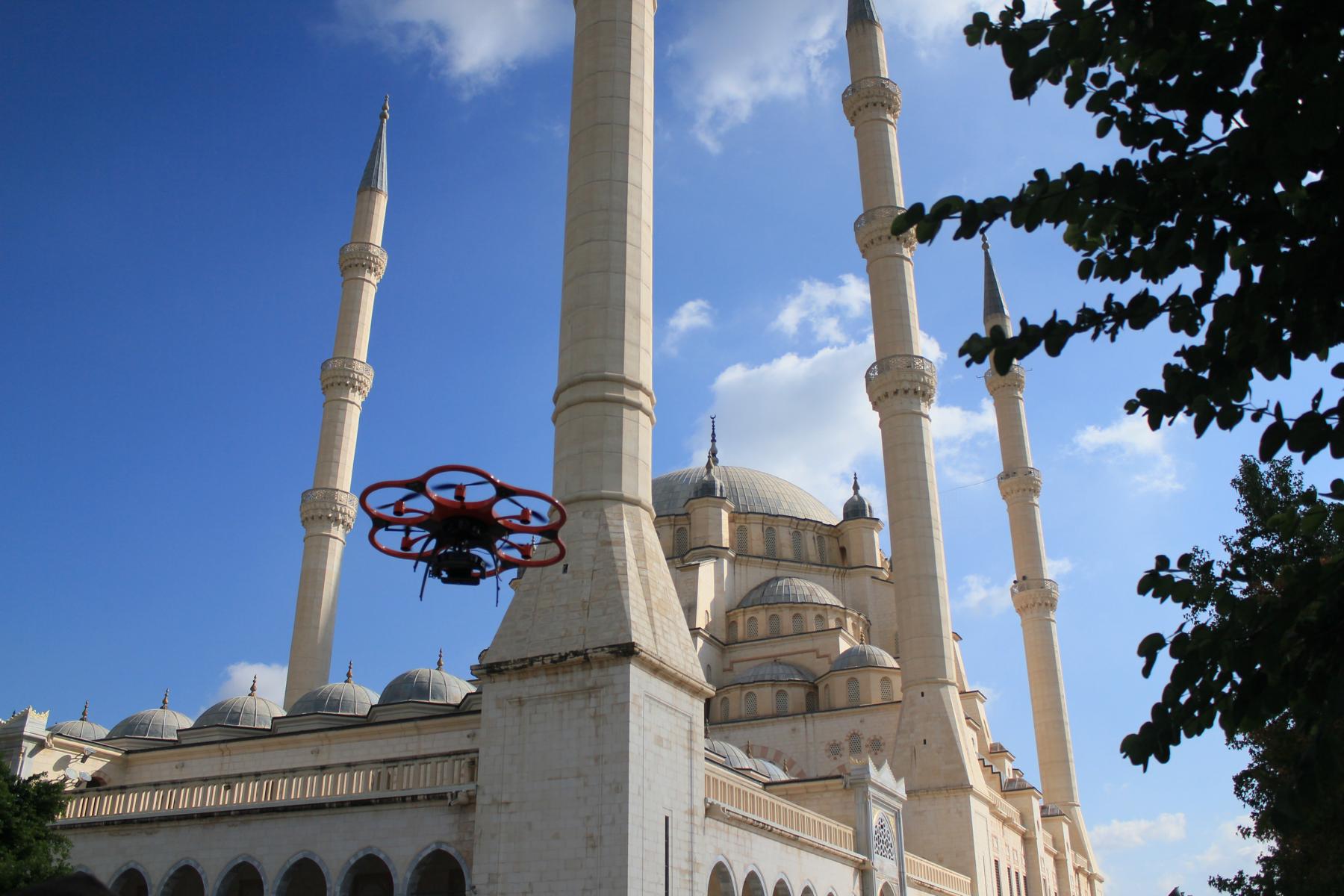
The largest mosque in Turkey has six minarets - four of them 99m high – and largest of its five domes is 32m in diameter and 54m high, making it time-consuming and expensive to use conventional inspection methods.
"We needed only three flights to cover all relevant areas and generate comprehensive data," said Bora Yavuz of Sistem, who has been working with terrestrial laser scanning systems for the past five years. “Compared to laser scanning, collecting the data from the top sections of this huge building by UAV was extremely easy, since nobody had to climb up to the minarets or dangerous places on the domes and wait for the machine to scan. Furthermore, alongside the data registration the generation of point clouds runs automatically.”

During the flight over the roof of the mosque the UAV followed a defined route that had been planned on the computer beforehand. The pilot then steered the UAV manually in two more flights around the building. The Aibot X6 UAV was carrying a Nikon Coolpix A digital camera and created high-resolution photos with an 80% overlap. Live images were sent from the UAV’s perspective directly to the screen of a ground station, enabling the pilot to ensure that all relevant areas were captured.
The data was subsequently processed to create a 3D model of the mosque with a precision down to 10mm to 20mm. The high-resolution photos are linked to the model so that damage can be located accurately. The images and the model will now be used as basis for maintenance and repairs.
The data processing involved using Aerial Image Manager to synchronise the GPS information and images. Further processing was carried out using photogrammetry software Agisoft PhotoScan Pro.
Got a story? Email news@theconstructionindex.co.uk