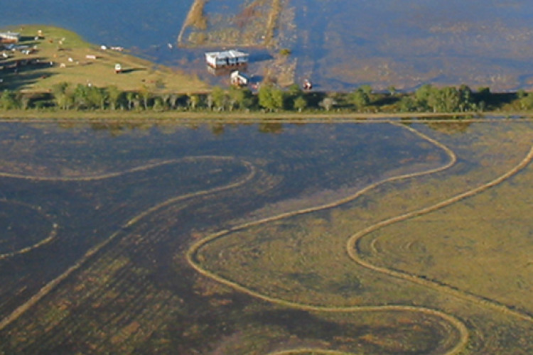
The contracts for the San Antonio River Authority (SARA) and the Harris County Flood Control District (HCFCD) will support the restudy and remapping of their watersheds.
For SARA, Atkins will update digital flood insurance rate maps (DFIRM) and the hydrologic and hydraulic (H&H) models to incorporate new climate, topographic and land use data, as well as producing floodplain work maps and flood risk products. Work will be executed on an 18-month schedule.
In addition, the company will provide professional engineering and consulting services to HCFCD in support of their floodplain mapping work. The team will support a restudy of the flood risk in Harris County’s 22 watersheds.
The company is committed to accurately identifying flood risk along Texas rivers, bayous and creeks, said Brett Sachtleben, Division Manager, SNC-Lavalin’s Atkins business. “As we produce the deliverables that meet Federal Emergency Management Agency standards and navigate the FEMA flood mapping process, we will provide SARA and HCFCD with the defensible scientific data they need to prepare for the future.”
Got a story? Email news@theconstructionindex.co.uk


