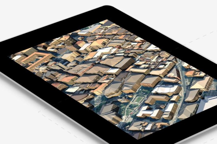
OS Model Builder is a new visualisation tool designed to support projects – including Level 2 BIM activities – and is intended to save time and money when the construction industry and its clients are planning future projects.
The software is the result of a collaboration between Cadline and Ordnance Survey (OS) to provide Autodesk Infraworks 360 customers with a single source of Great Britain’s geographic data in a pre-configured CAD-ready file. The information can used to create 2D and 3D building or infrastructure models – OS said that this will now take minutes rather than days or weeks.

The application is available over the web, runs on any device and can be trialled for free. OS said that it can improve the speed of informed decision making and provide clients with visual representations that help them understand the various aspects of a project.
OS strategic relationship manager Gary McDonald said: “OS listened to feedback from the building industry and the result is OS Model Builder, a leap forward in bringing our world-class data under one roof and removing previous licensing hassles. We are also aware that when you’re dealing with multi-million-pound projects and making important decisions, you don’t want the risk of relying on inferior and inaccurate geographic data. You want the best and most current picture to work from. Cadline has taken this concept and in OS Model Builder they have created an application that is easy to use and delivers quick, effective results that are in line with government BIM targets.”
Got a story? Email news@theconstructionindex.co.uk


