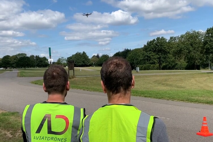
The unmanned aerial devices could be used to spot potholes, assess whether there are issues with trees and streetlights and ensure the highway authority has a regular and better understanding of the condition of its assets.
The trial is part of the Association of Directors of Environment, Economy, Planning & Transport (ADEPT) SMART Places Live Labs programme, which got £23m funding from the Department for Transport last year. Kent and Amey secured £2m of that pot for their two-year drone trial.
With 5,000 miles of local roads in the county, Kent has a lot of highway to maintain. In the first six months of 2020 the county council patched 512,303 m2 and filled 43,468 potholes.
Cabinet member for highways and transport Michael Payne said: “This is an exciting opportunity for Kent allowing us to have a much better understanding of the condition of our roads and assets across the county.

“For instance, rather than us having to drive around looking for issues or arrange to clamber up bridges, we can use the drone to quickly and easily spot any problems we might face. And rather than setting up traffic management and diversions to do an inspection, we can simply put a drone in the air – meaning Kent Highways staff can be freed up for other projects.
“With this new eye-in-the-sky technology we could have a quick and clear idea of what needs to be done, and where, meaning we will have the information at our fingertips rather than people simply reporting problems to us online.”
Giles Perkins, programme director for the ADEPT Live Labs initiative said: “ADEPT’s Live Labs programme aims to tackle some of the technological challenges faced by local highways authorities in the rapidly changing transport sector.
“The insights and learning from Kent and the other seven Live Labs, as they develop over the next two years, will be invaluable for local authorities and industry right across the UK and beyond”.
Got a story? Email news@theconstructionindex.co.uk


