
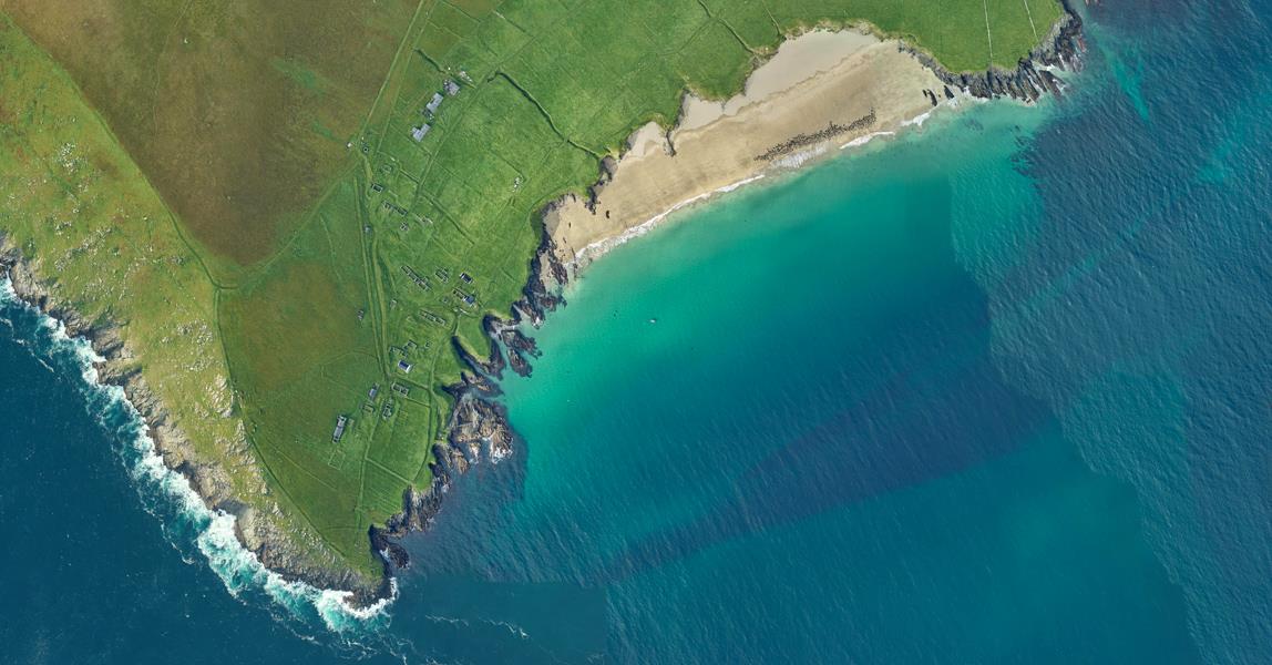
Ireland’s Office of Public Works (OPW) has awarded the contract, which will see Fugro deploy a specialist survey aircraft and high-resolution lidar sensor to survey 1,815km2 of the coastline during low tide conditions.
This baseline survey will deliver a 3D elevation model to support Ireland’s coastal resilience strategy by identifying areas at current or future risk of coastal change and flooding.
The contract follows on from a 2021 survey OPW commissioned for the south and west coasts of Ireland.
The baseline surveys will be used in conjunction with future and past studies to facilitate enhanced risk assessment of coastal change at multiple scales from national to regional level. In turn, they will be used to inform strategies to best manage the coastline and mitigate the risk from rising sea levels.
Fugro said that the use of airborne lidar technology offers many advantages over traditional survey techniques, including the capture of increased volumes of geo-data during faster cycle times, reduced safety and technical risks, and the potential for simultaneous multisensor geo-data acquisition.
Bram Mulder, Fugro’s director for land asset integrity in Europe and Africa, said: “We’re proud to continue working with OPW to provide the Geo-data needed to better understand and mitigate the threats facing our coastlines. Using the latest airborne data acquisition and processing technologies, we’re able to inform critical coastal resilience strategies that protect local communities, natural areas and surrounding infrastructure for a safe and liveable world.”
Got a story? Email news@theconstructionindex.co.uk